Walking and Cycling
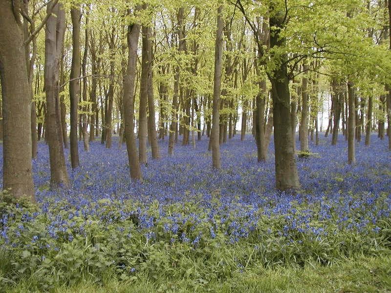
Badbury Clump
Historic Tour of Faringdon 11 page pdf
Download and print a walk guide of Faringdon's Historic buildings. Children's trail and quiz 1 Children's trail and quiz 2 Download and print a walk around Faringdon, with questions to answer River Thames Guide Overview of walks along the river Thames starting at Lechlade throught to Maidenhead Along the Thames Detailed directions and maps to walk the Thames path -from Lechlade to Tadpole bridge Ramblers Society Ramblers walks in and around Faringdon Farcycles Regular cycling from Faringdon Sustrans National Cycle route network maps Oxfordshire Fieldpaths society Regular programme of walks across Oxfordshire |
Faringdon is set in lovely countryside, around which there are many walks and cycle rides. The following links will take you to sites that offer information, routes to follow, and arranged programmes of walks
In 2005 a group of volunteers from Faringdon produced a set of 8 walk cards, with walks ranging from 4 - 7 miles, including Badbury Clump, Great Coxwell, Wicklesham, Hatford and Radcot. Most walks start from Faringdon and are circular. Each walk has a good colour map and clear instructions to follow, together with guidance on the countryside code and contact information. The walk information have been designed to encourage those who like to walk, but are apprehensive about following detailed OS maps and walking into the unknown. The walk cards are now out of stock, but you can follow this link for details of the walks and documents for download or call into Faringdon Tourist Information Office and ask them to print one for you. Oxfordshire County Council website has a searchable map that shows public rights of way. Here are 2 snapshots of the map. Great Coxwell, Little Coxwell, Fernham; Littleworth Healthy Walks in Faringdon- Every Wednesday, 10.30, from the Old Town Hall Meet under the Old Town Hall We leave at 10.30 and walk for about an hour. Two groups: 1 slower, 1 faster. Coffee afterwards Good exercise, good company. No pre-booking is required - just come along. The ancient market town of Faringdon is situated on the Golden Ridge, which extends between Oxford and Swindon. It is the warm, honey coloured grit used in the buildings in the area, including many of the buildings in Faringdon, that gives the Golden Ridge its name. The Ridge is made of coral-rich limestone, called the Corallian Limestone, which plays a big part in the geology of Faringdon, ranging from its affect on the landscape, to its use as a building stone. Faringdon is also home to the world-famous Faringdon Sponge Gravel, which contains many excellently preserved fossil sponges. Faringdon is one of the best places in Oxfordshire to see how the geology affects the landscape, and this provides the town with some of the best views in the county. More information about Faringdon Sponge gravels Thames Path Just 3 miles north of Faringdon, the Thames Path National Trail provides a wonderful opportunity for walking alongside the river. It follows England's best known river for 184 miles (294km) as it meanders from its source in the Cotswolds through several rural counties and on through the bustle of the City of London. Detailed directions on National Trail website Ridgeway walk Just 6 miles south of Faringdon, The Ridgeway National Trail is a great place to visit for walking, cycling or horseriding. The whole Trail is 87 miles (139km) long with much of it following the ancient chalk ridge route used by prehistoric man. It's perfect, but not too strenuous, for long distance use, and is also ideal for day trips or less. Two lovely downland circular walks ( 4 miles and 7.5 miles) that use The Ridgeway have been established in Oxfordshire, west of Wantage. Detailed directions on National trail website |